
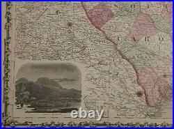
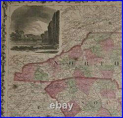
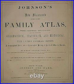
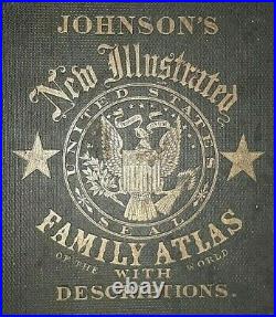

Offered for sale is an Original 150+ Year Old -1864 Vintage Atlas Map. This Map was removed from a 1864 Johnson & Browning Atlas and is in good acceptable condition. These maps are harvested from antique atlas books that are in poor unusable condition. I retain only best condition maps and offer them for sale for your enjoyment. It may have some age wear such as minor wear , foxing, spots, paper browning & brittle paper from over 15. 0+ years of aging. Study the photos carefully, this is the actual map you. The page is approx. 18″ x 26 1/2″. There is no date on this map. The book & title page are not included but only used as a verification reference. Maphatter Auctions & Store listings offer only Original Authentic Antique & Vintage. Atlas Maps from the 1820’s – 1960’s. Including Hundreds of Rare. Period United States, State & City Maps. No copies, posters or reproductions. If you are not %100 satisfied. This item is in the category “Antiques\Maps, Atlases & Globes\North America Maps”. The seller is “maphatter” and is located in this country: US. This item can be shipped worldwide.
- Cartographer/Publisher: Johnson & Browning
- Printing Technique: Steel Engraving
- Original/Reproduction: Antique Original
- Format: Atlas Map
- Ref#: JOHNSON1864/051722
- Original: This map is original, printed in 1864.
- Frame: Very suitable for framing.
- Type: State Map
- Year: 1864
- US State: United States, AL, FL, GA, MS, NC, SC, South Carolina, North Carolina
- City: Charleston
- Date Range: 1800-1899
- Country/Region: United States of America

